EnTech uses drone-mounted instruments to conduct efficient aerial reality capture operations, producing advanced digital representations of project sites and achieving outcomes tailored to our clients’ needs.
EnTech’s drone team includes FAA-licensed remote pilots with experience planning and conducting flights across a diverse portfolio of projects. The team operates with a safety-first philosophy, strictly adhering to FAA and local licensing and regulatory requirements to provide professional, compliant, reliable service.
Contact Us
Aerial Site Assessment & Scan-to-BIM
Drone imaging allows clients to view a comprehensive bird’s-eye perspective of project sites, including detailed views of hard-to-reach areas. Data collected through aerial flights can be processed into 3D maps that recreate the physical world in a digital environment. By capturing complex roof geometries and exterior envelopes from the air, we supplement ground-based interior scanning to help create more complete and accurate models while reducing timelines and safety risks.
Enhanced Progress Monitoring
Drone imaging can provide instantaneous measurements of areas and volumes, and by executing repeated flights along the same automated path, EnTech’s drone team empowers clients to easily track site changes and construction progress over weeks or months. Consistent drone deployments additionally create a permanent digital archive of the project lifecycle, which informs future planning.
Remote Inspections
Drone imaging allows clients to capture close-up, high-resolution imagery of exterior building envelopes, bridge superstructures, waterfront infrastructure, and more, revealing conditions without the need for scaffolding, lifts, or manual climbs. EnTech uses drone-based instruments to identify visual defects such as cracks, water infiltration, and material degradation in hard-to-reach areas, providing fast and accurate records of conditions while keeping personnel safely on the ground.
Safety Management
EnTech’s formal Safety Management System for aerial reality capture includes mandatory preflight checklist compliance, postflight performance documentation, operational debriefs and risk assessment updates, and routine digital flight log review. EnTech’s pilots are FAA-certified under 14 CFR Part 107.
Digital Deliverables
EnTech’s specialists transform raw data acquired during flights into actionable resources, including:
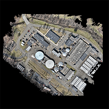
2D Orthomosaics High-resolution, georeferenced maps, for precise site planning
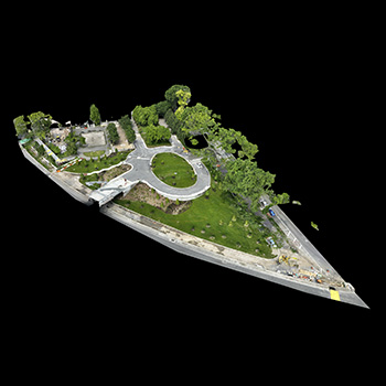
3D Maps Photogrammetric reconstructions for immersive site analysis
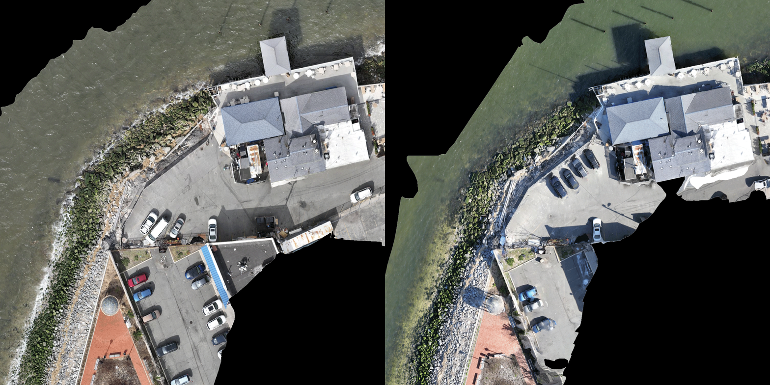
Progress Visualizations Time-lapse videography and side-by-side image comparisons
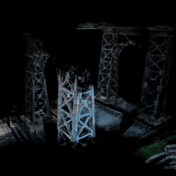
Point Clouds Digital replicas of sites and assets represented as data points
Workflow
Phase 1 Preflight Operations Site assessment, airspace authorization, and mission planning
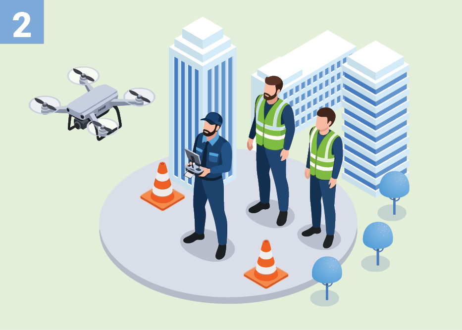
Phase 2 Data Acquisition Precision flight operations, following strict safety protocols
Phase 3 Processing and Delivery Data processing, quality assurance, and development of final deliverables
Lorem ipsum dolor sit amet, consectetur adipiscing elit, sed do eiusmod tempor incididunt ut labore et dolore magna aliqua. Ut enim ad minim veniam, quis nostrud exercitation ullamco laboris nisi ut aliquip ex ea commodo consequat. Duis aute irure dolor in reprehenderit in voluptate velit esse cillum dolore eu fugiat nulla pariatur. Excepteur sint occaecat cupidatat non proident, sunt in culpa qui officia deserunt mollit anim id est laborum.